MAPPING THE

ARCHIPELAGO

MAPPING THE

ARCHIPELAGO

MAPPING THE

ARCHIPELAGO

Maps of travel, territory and power

Various Collections

1872–1945

Across the late nineteenth and early twentieth centuries, maps pictured the Dutch East Indies for different audiences. Appearing in prints, postcards, tourism material and advertisements, they made the archipelago visible through different purposes
and perspectives.

Across the late nineteenth and early twentieth centuries, maps pictured the Dutch East Indies for different audiences. Appearing in prints, postcards, tourism material and
advertisements, they made the archipelago visible through different purposes and
perspectives.

These maps did more than locate islands. They promoted
destinations, traced new routes, documented missionary activity and framed the archipelago through colonial and geopolitical interests, revealing how cartography could communicate particular ways of seeing a place.

These maps did more than locate islands. They promoted destinations, traced new routes, documented missionary activity and framed the archipelago through colonial and geopolitical interests, revealing how cartography could communicate particular ways of seeing a place.

Ways of Seeing

A commemorative print placed a map among scenes of missionary activity, visualising the Dutch Missionary Society’s presence across parts of the archipelago.

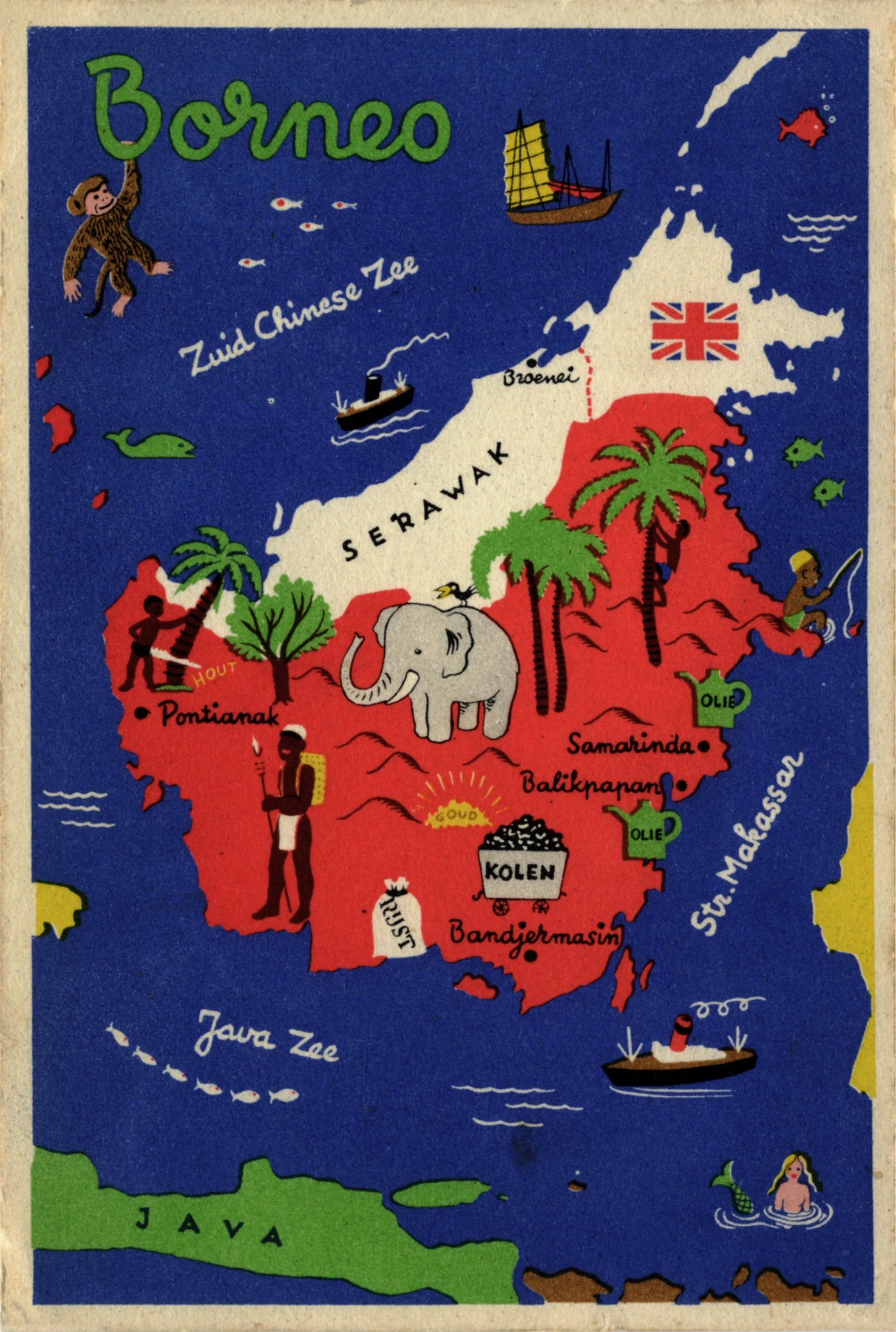
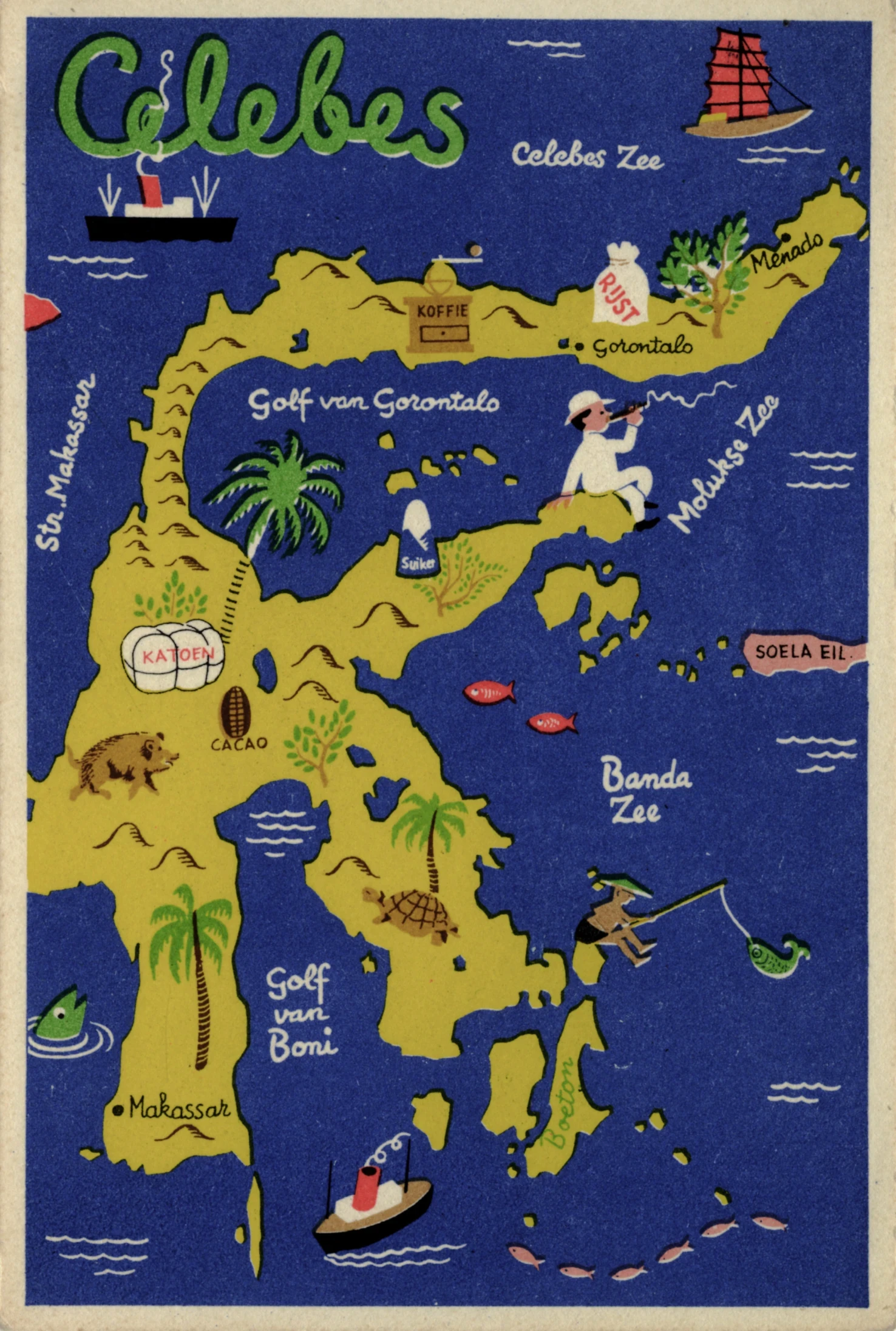
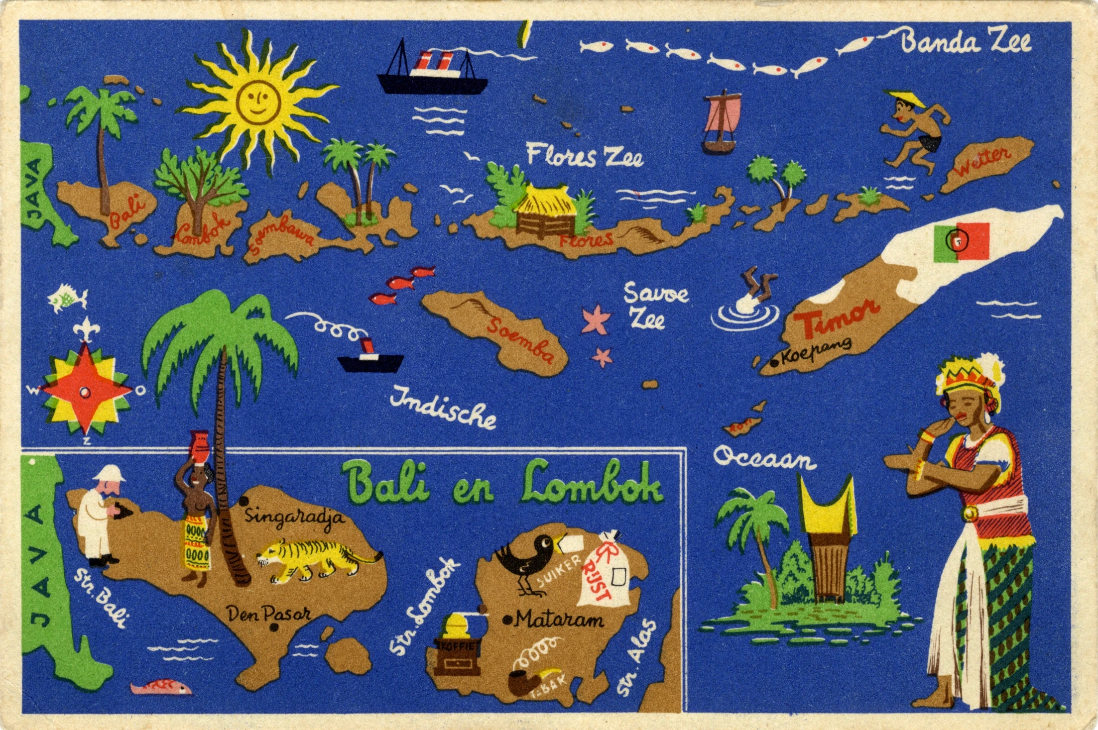
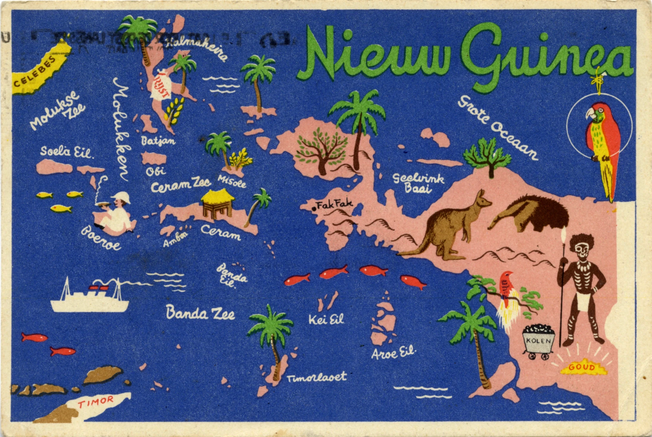
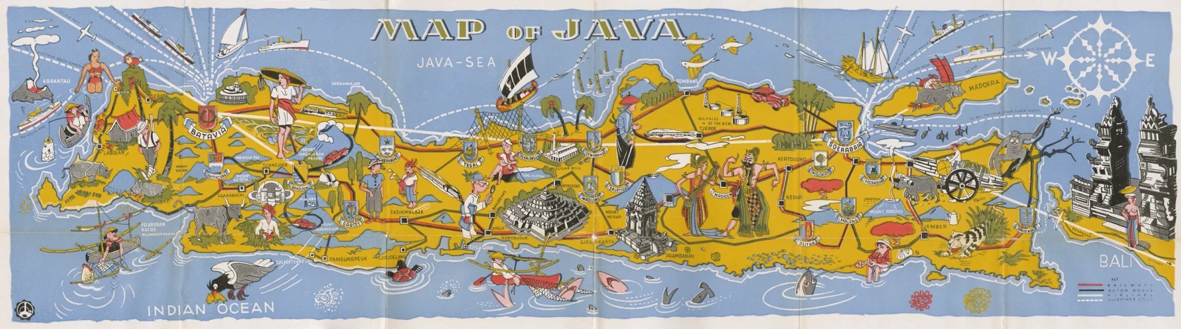
Tourism materials transformed islands into destinations, using illustrated maps to introduce landscapes, routes and attractions to prospective visitors.

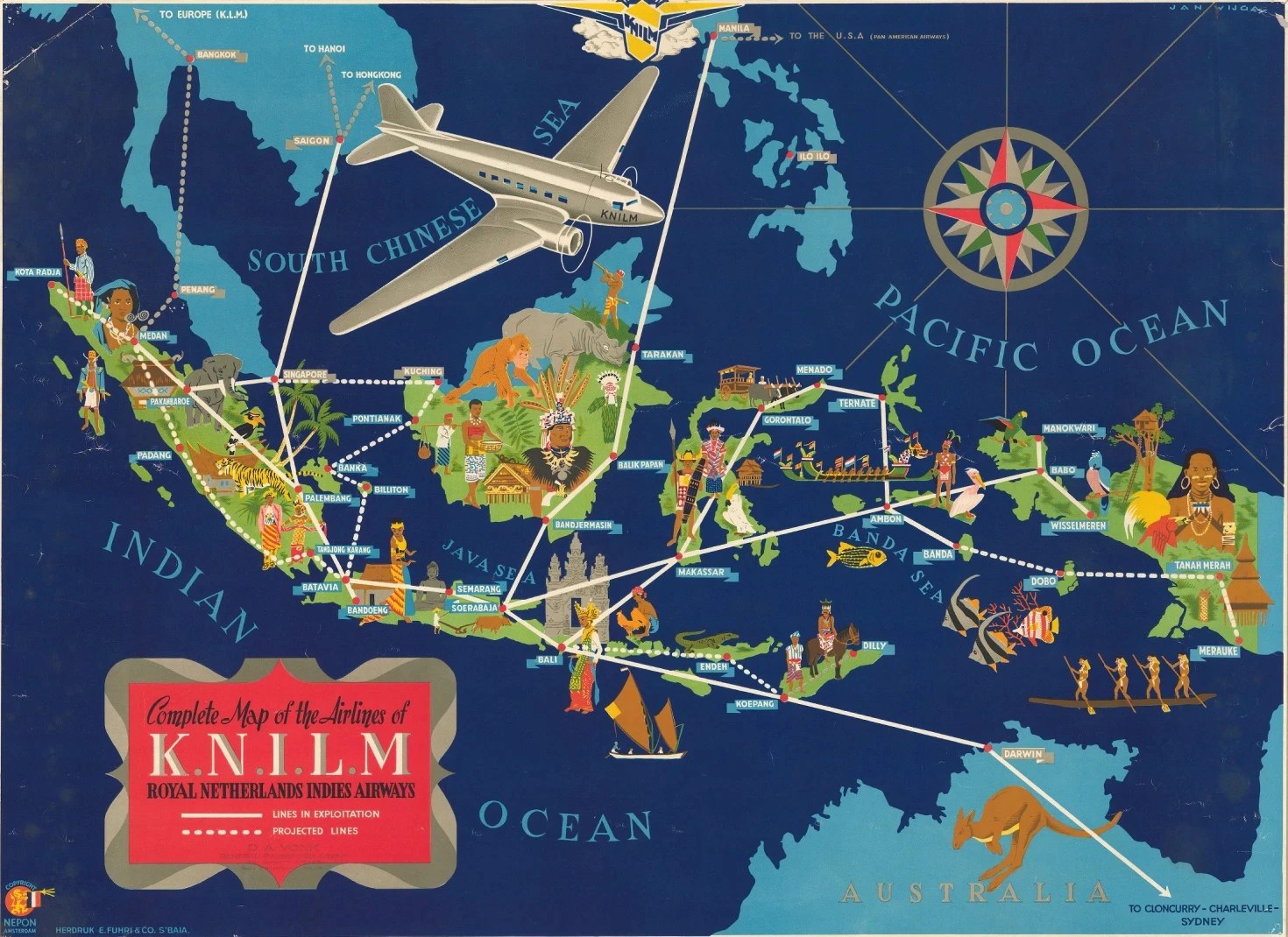
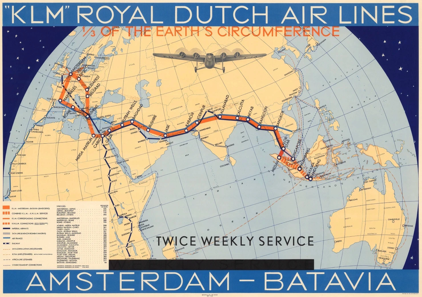
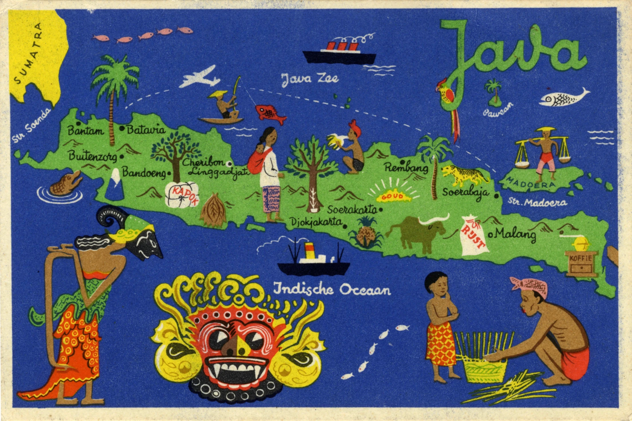
Postcards mapped individual islands, while airline maps traced routes across the Indies, presenting distance and geography through expanding networks of mobility.

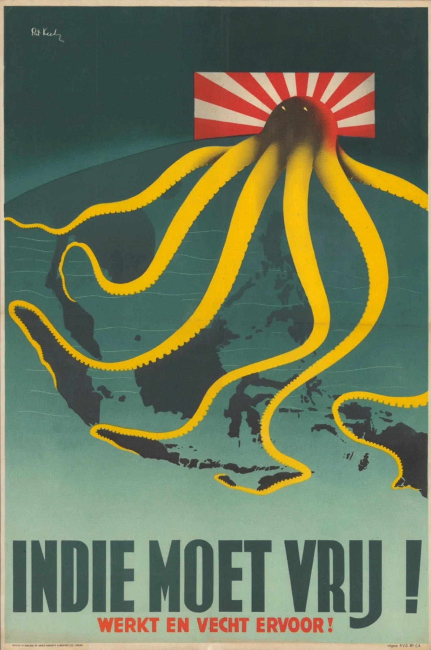
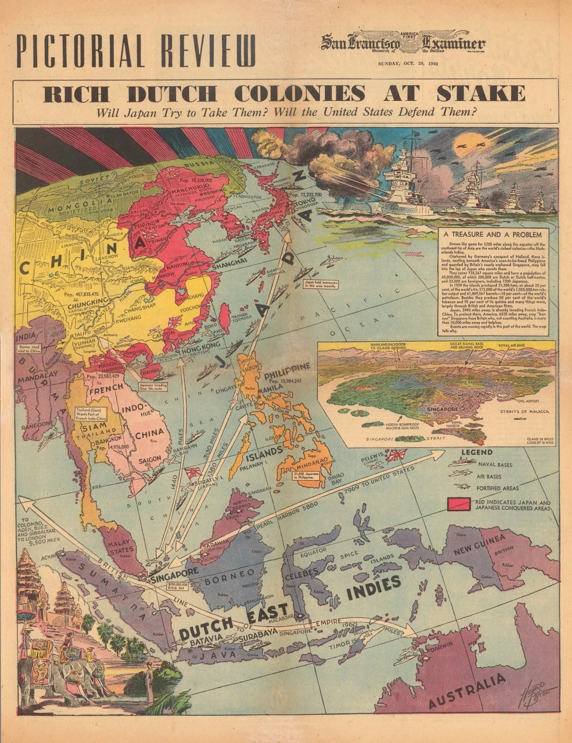
As war reshaped the region, maps positioned the Indies within narratives of strategic territory, international conflict and the continuity of the Dutch kingdom.
From this series